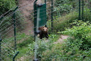
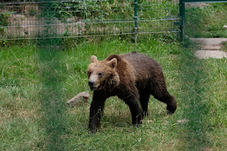
The Alternative Wolf and Bear park is a set of large enclosures used to house rescue bears, wolves, and lynx. You get to walk around the outside of the area. It is enclosed by fences, but occasionally there is a small hole in the fence for cameras. We were pretty lucky and got to see all three animal types.
Here are lots of pictures:


Our next stop was the Kloster Allerheiligen Ruins, which is a small walk away from a waterfall and a trail. Unfortunately, when we were about ten minutes away, Google wanted us to turn onto a road that had construction. We were forced to continue on and then turn onto the first road that headed roughly in the same direction. We ended up following a route through the mountains that yet again ended up trying to get into another section of the same road that was shut down. I looked at the map and decided to take us on the slightly longer way around, on a major road. As we entered the area, we found the end of the road that had been shut down. It indeed led right up to where we wanted to go.
The ruins of the monastery were beautiful, but absolutely ruined by the stage and chairs that were set up right in the middle! Outrageous! I read about a looped hike involving the waterfall, so we continued on in the direction of the falls. The walk was fairly long and led down sections of steps, which led to subsequent sections of the waterfall. At the end we found a parking lot. There was no sign of a hiking trail. Tired, and without internet, we turned around and returned the way we came.


Back near the ruins, I discovered a sign that led in a slightly different direction, that mentioned the waterfall and its car park. We looked at google maps, who wanted us to drive home by way of the shut down road. We went by major roads south, and then east, to eventually meet up with the main road that brought us here. A minute or so after we left the parking lot, we passed the parking lot that was at the other end of our trail, passed the waterfall. Just past the parking lot there was a trail that went up. We would only have found it if we walked past the parking lot and decided to take a gamble. There were no signs on this end.
No comments:
Post a Comment