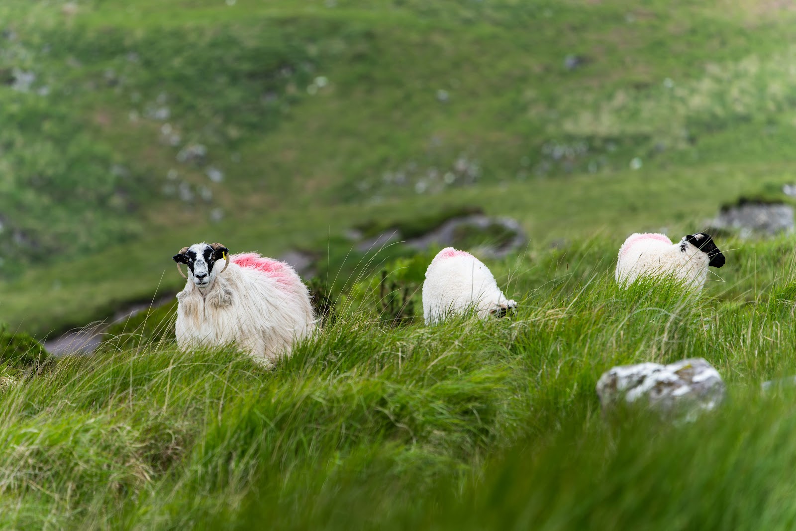
I used the gps, as usual, to direct me north to the beginning of the Circle of Kerry drive. At some point, it took us on a long and meandering path through the mountains that was extraordinarily beautiful. The road was narrow, but we were fortunate not to encounter drivers from the opposite direction. Unfortunately, one of my cameras was mistakenly kept on test settings from the night before, and so the 3 bottommost landscape pictures are poor. I kept them in the blog anyway, to give an idea of the sights. We also had our first close encounter with sheep. Despite the camera mishap, this was the highlight of my day. Amazing views around every corner and we had it all to ourselves.
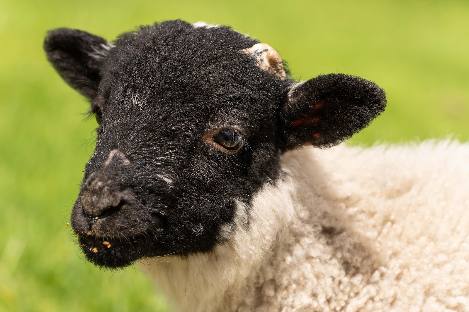
As we were walking back to the car, one of the farmers put out food for the baby sheep, and Miles got to pet them.
Just before our stop at the Loher Stone Fort, we finally found a view worth stopping for.
Down another narrow and winding road was the Lohar Stone Fort. This was reported to have been from around the 9th century. it was, however, a reconstruction.
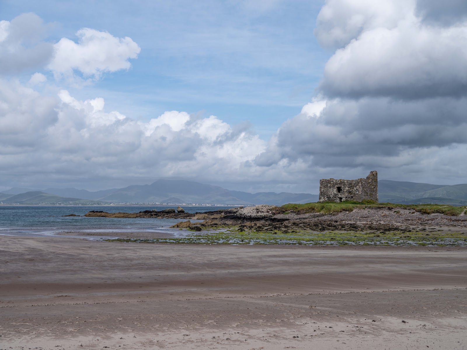
Towards the southwest corner of the extended Kerry loop is a beach, with Ballinskelligs Castle and just a short walk away, the Ballinskelligs Abbey. The tide was low enough to walk right to the castle. I continued on to the abbey while Miles returned to the car.
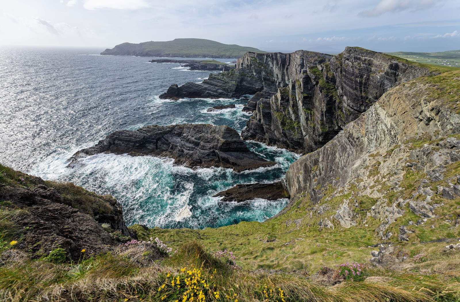
The last stop of the day was at the Kerry Cliffs. The wind was bothering Miles, so I came up with the idea of giving him my beanie to keep his hair at bay in the future. I walked up to the two paths for cliff views.
Our bed and breakfast were across the water from Portmagee, on the small island of Valentia. We stopped at the small convenience store and food truck in Portmagee before retiring for the evening. It was a long day.


No comments:
Post a Comment