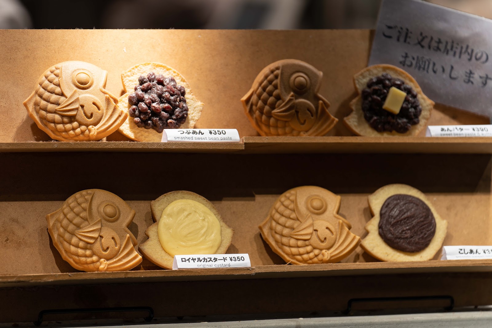
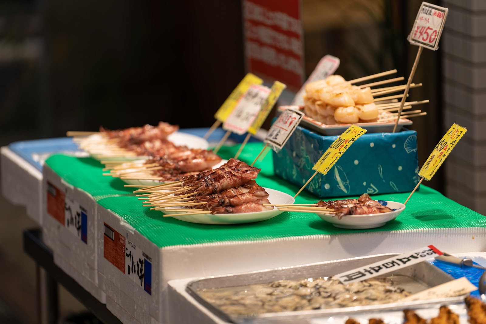
I returned to Nishiki Market, with my camera in tow. I would have loved to take pictures of some of the vendors, but I always feel odd about taking pictures of people without asking for consent before each picture. One vendor was sloshing around shaving cream in a bucket, to try to attract customers to get a shave. I would have loved to take a picture of that. Instead, I stuck to products for sale in the marketplace.


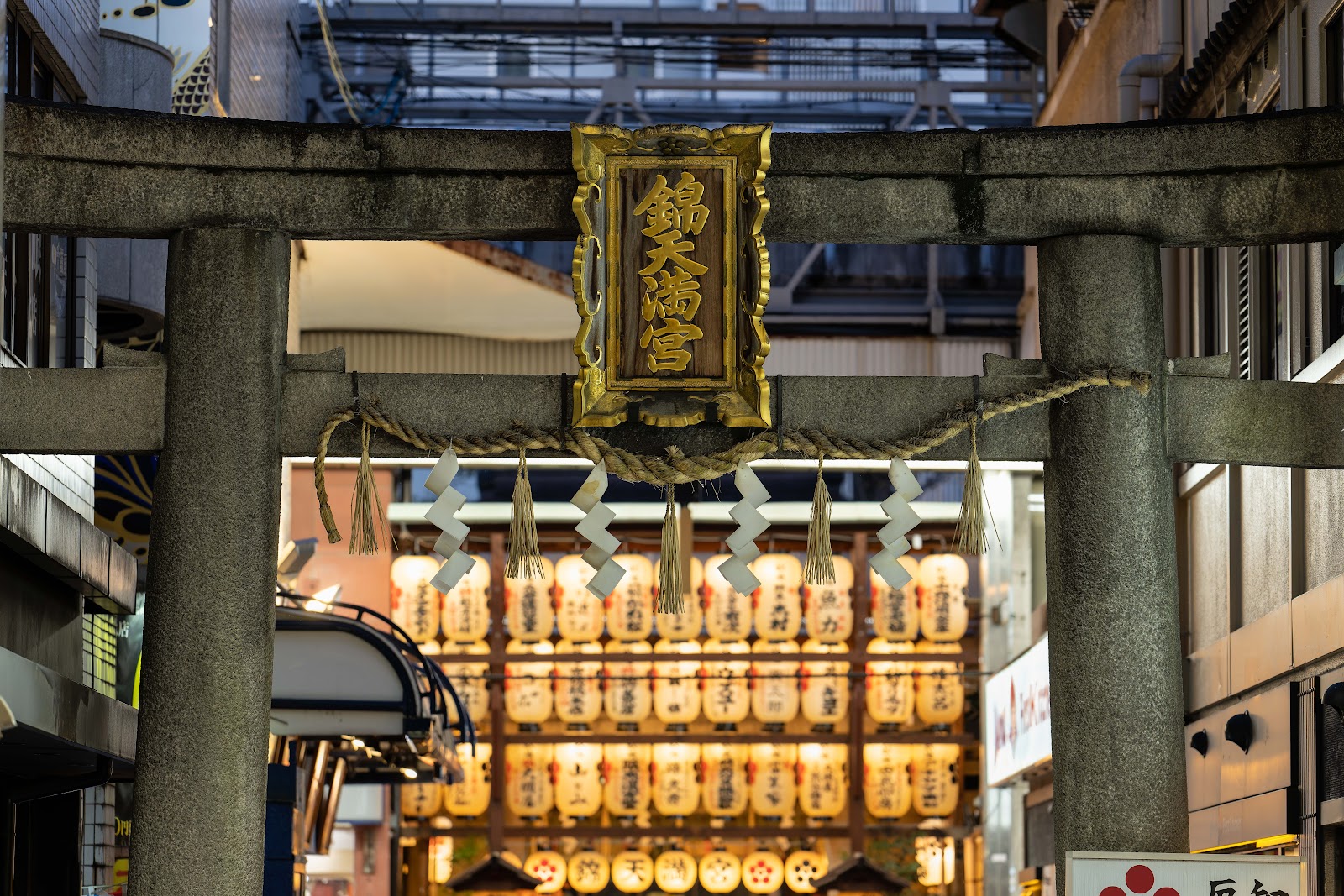
Returning to the shopping street, you run into Nishiki-Tenmangu Shrine, nestled right in the middle of the shopping corridors.
I took pictures of interesting storefronts heading north.


I decided to redirect east and south to a curry soup restaurant called Omiya Seiemon. This curry style soup originates in Hokkaido. The chef and server tried to mime the method of eating, which involves submersing your rice into the soup. It was absolutely fantastic. I went back the following day as well.

The next day I decided to end up at my failed hike from 2017, to retry it in time to catch a veiw of the city during sunset. I took the train to Keage Station, and then walked along the waterway towards Nanzenin.


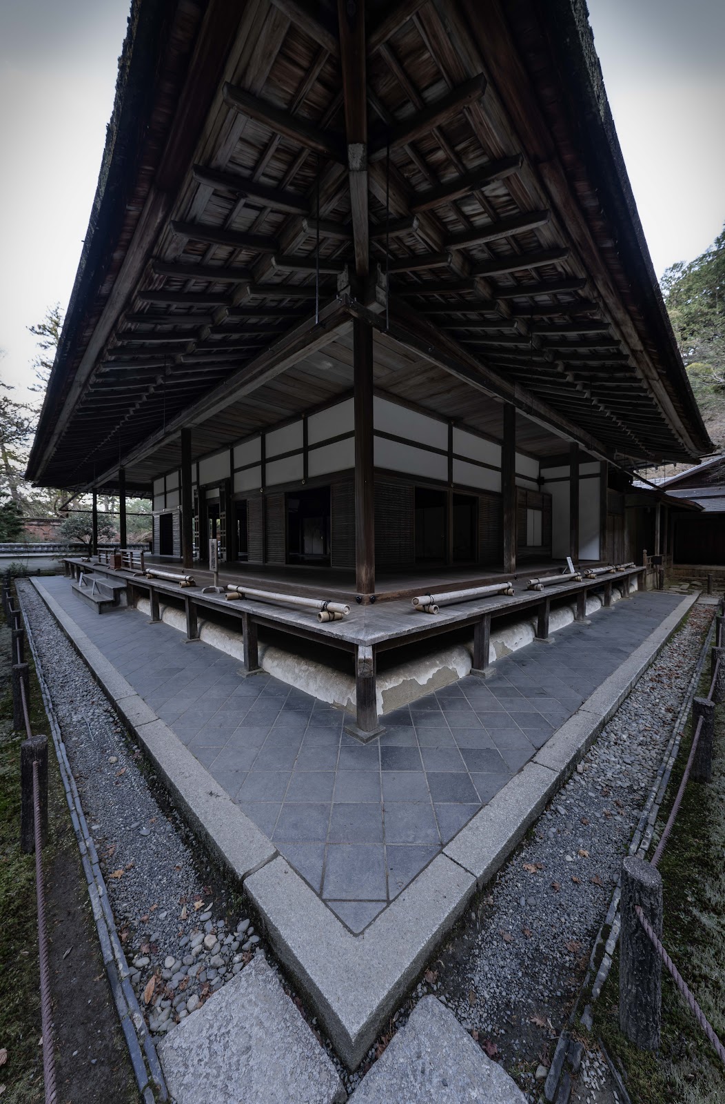
The temple was small, but serene. Just down the stairs I found the Suirokaku Water Bridge, an aqueduct that I briefly took a picture of in 2017, and then the rest of the Nanzen Temple Complex, which I walked around briefly back then.


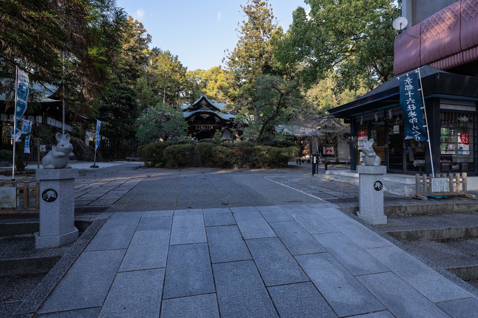
Next, I began walking toward Okazaki-jinja Shrine, dedicated to rabbits.
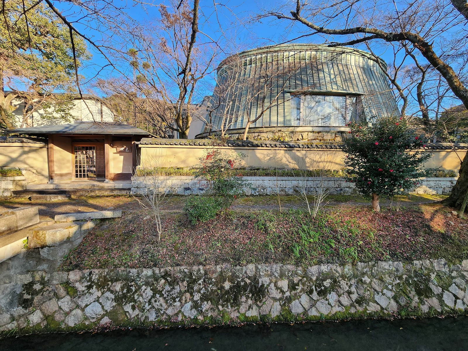
 |
| A beautiful residence I encountered along the way. |
 |
| A small shrine on the side of the road. |


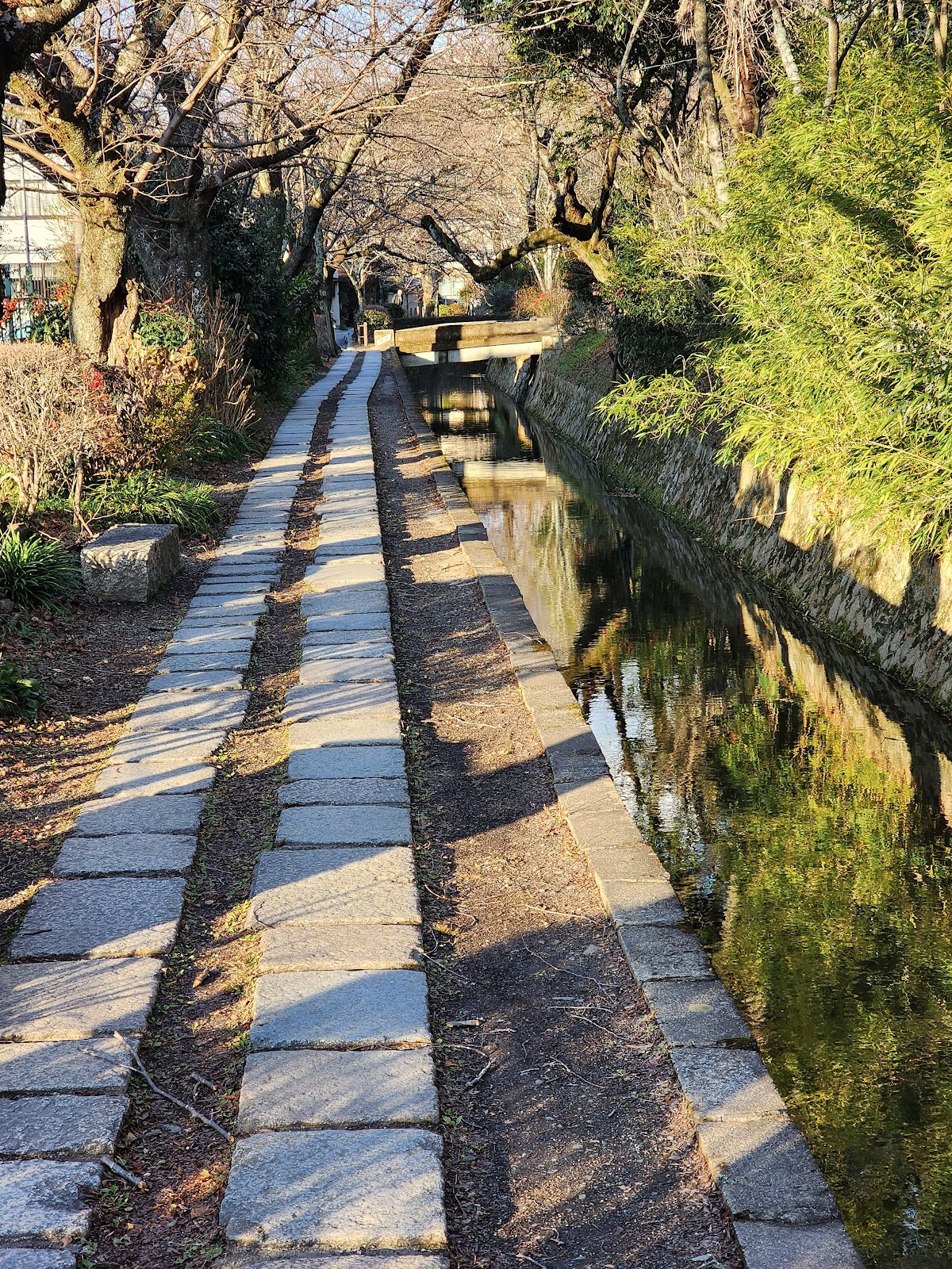
Just next to the hike is Ginkaku, the silver pavilion that isn't silver. I tried to visit this before my hike in 2017, but it had already closed. It was designed by the grandson of the man who created the Golden Temple, Kinkakuji. The silver temple was meant to be covered in silver foil, but it never was. To get there, I walked part of the Philosopher's Path again. I saw some interesting homes this time that I had not caught the first time around.

 |
| The entrance to the non silver temple. |


 |
| This was from a viewpoint along the sliver temple walking path. |
Thirty seconds north of the temple began the path toward the hike. This time, when I looked for it online, there was a picture guided explanation of the trail. Some of the trail was recognized in my memories. Once I reached the bridge that I had missed, and caused me to go off road back in 2017, I found a sign there. I do not believe that this was there the first time, because I most certainly would have reached the correct hiking location had it been! I tried to look up my original pictures, but could not find a picture of the bridge location(which makes sense, since I overlooked it the first time). I made sure to pack a backup battery to charge my cell phone in case I got lost this time around or needed the extra battery for the flashlight in the descent.


This last picture was of the final ascent to the overlook. The hike overall was actually a bit longer than expected. It was mostly uphill, fairly well manicured with one rocky location that didn't point toward the next direction of the path. Luckily I had the photo guide to help with that.
At the top, it was extremely cold and windy. At first, there were many hikers viewing the sunset. As the time went on, they disappeared, leaving myself, one other photographer, and an older man who was doing pullups on the small shrine at the top. I waited until lights began turning on in the city and then forced myself to leave a little earlier than I would have preferred. I just wanted to make sure that I could see my way back down. It was only to the very final section that it was pitch black and I needed to use my flashlight to guide me.


While it was pitch black, I ran into two young men, also using their phone flashlight to guide them. They asked me if they were going in the right direction for the hike that I had just done. They intended to go all the way in darkness. The footing for a lot of the hike was a bit iffy, so fairly dangerous, and their phone flashlight was pretty weak, but I couldn't say anything. I did point them to some of the photos used to guide through the hike, to help them out.
No comments:
Post a Comment